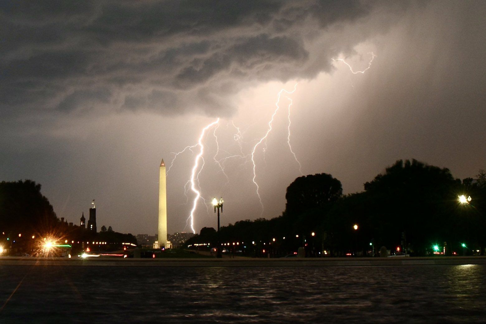
Thunderstorms are back in the forecast for the D.C. region to end the workweek, bringing a different threat than the strong winds and small hail we’ve seen in weeks prior: This time, there are flash flooding concerns.
The National Weather Service has posted a Flash Flood Watch from noon Thursday through Thursday night for Northern Virginia and much of Maryland, including D.C. and Baltimore. Showers will develop around early afternoon with an oncoming cold front, and grow more widespread in coverage through evening commute.
Any storms that appear will be slow-movers and carry a risk for torrential downpours. The D.C. region could be in for localized rainfall amounts of several inches in a matter of hours.
“A cold front will drop southward into the area today. This front will become the focus for slow moving thunderstorms this afternoon and evening,” the weather service said in its Thursday discussion. “Because of the slow motion and ample moisture in the atmosphere, storms may drop 2 to 4 inches of rain a short period of time, resulting in flash flooding.”
If you plan on driving this afternoon, anticipate blinding rain and rapid rises of water along flood-prone streams, creeks, urban areas and highways. Remember: Water on roadways can appear deceptively shallow. If you can’t see the road ahead of you, turn around, don’t drown.
A Flash Flood Watch is now in effect across portions of the area for this afternoon and this evening. Slow moving thunderstorms may produce several inches of rain, resulting in flooding. pic.twitter.com/qgWEunr4sp
— NWS Baltimore-Washington (@NWS_BaltWash) June 10, 2021
Thursday’s rain will last through the overnight hours into Friday morning. Steady rainfall tapers off early Friday, with only a passing shower in the forecast by Friday night. Friday won’t be pleasant, but the passage of the cold front means there’s reason to be more optimistic about Saturday’s weather.
Some in the D.C. region have already felt an active weather pattern this week: St. Mary’s County in Maryland saw flooding and wind damage late Wednesday, after a strong storm over the Western Shore downed tree limbs and stranded at least one vehicle in rising water near Piney Point.
Forecast:
Thursday: Mostly cloudy and slightly cooler. Rain and thunder expected, with locally heavy rain possible. Highs in the low to mid 80s.
Thursday night: Evening rain and thunder. Showers overnight. Turning cooler, with lows in the mid to upper 60s.
Friday: Cloudy, cool and rainy. Storm totals of between 2 and 3 inches, with locally higher amounts possible. Highs in the mid 60s to low 70s.
Saturday: Partly cloudy with a small chance of a passing shower. Highs in the upper 70s to low 80s.
Sunday: Clouds move in, with a few afternoon showers possible. Highs in the low to mid 80s.
Current conditions:
Like WTOP on Facebook and follow @WTOP on Twitter to engage in conversation about this article and others.
Get breaking news and daily headlines delivered to your email inbox by signing up here.
© 2021 WTOP. All Rights Reserved. This website is not intended for users located within the European Economic Area.
"front" - Google News
June 10, 2021 at 05:04PM
https://ift.tt/3xb55th
Cold front brings flash flood risk to DC region late Thursday - WTOP
"front" - Google News
https://ift.tt/3aZh1mr
https://ift.tt/3b2xvu5


No comments:
Post a Comment